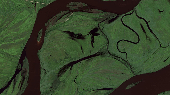
The artists’ group onformative combines facial recognition software with satellite images from Google Maps to reveal the planet’s “GoogleFaces.” Explain the artists:
Our Facetracker already circumnavigated the world a couple of times and astonished us with quite versatile results. As it continues to travel the world within the upcoming months, it continuously zooms into the earth. This process decreases the step-size for each iteration and therefore increases the amount of images and travel time exponentially. Some of the detected images aren’t usable at all, as we are not able to recognize any face-like patterns within the detected images. Other satellite images, on the other hand, inspired our imagination in a tremendous, yet funny way.
An interactive version of the project is here.
(Hat tip: ANIMAL)
