A reader snickers:
World War II was the golden age of maps? Really? This kind of nostalgic hooey is really too much sometimes. If we’re not living at the beginning of the golden age of maps, then I’ll eat my whole collection of old topos, which have been rendered essentially useless by the Internet. Not only does every person with a smartphone or tablet walk around with an exquisitely and finely detailed atlas in his or her pocket in the form of Google Maps, but it’s searchable, too. And with Google Maps comes Google Maps Engine, which can be used by businesses and schools (who can get free licenses for the product) to create interactive, to-scale maps that are driven by the same platform Google uses. And we’re not just constrained to corporately-owned and tightly-licensed maps, either. With projects like Open Street Map, we have a user-created, openly-licensed atlas that can be freely used, corrected, and tweaked by anyone who wants to contribute to it – a sort of Wikipedia of maps.
And those aforementioned paper topographic maps? They’re basically just good for decoration, now that the USGS has put up free scanned copies of all their old maps for download and has issued a new series of maps based on aerial and satellite imagery with layers that can be enabled and disabled to pick out useful information or hide useless information, all using standard PDF viewing software.
But WWII-era maps printed up in a five colors on bulky paper and with very limited amounts of detail were nice, too, I’m sure.
Can’t argue with that. Previous Dish on the current era of cartography here.
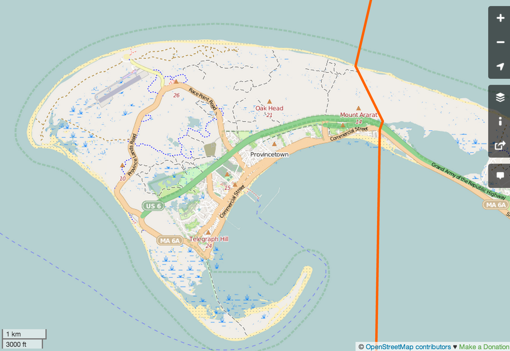
(Screenshot from Open Street Map)
