by Dish Staff
The above is one of more than 170,000 portraits taken by the photographers of the government’s Farm Security Administration between 1935 and 1945. Alissa Walker spotlights a new project that makes the photos more accessible:
A team from Yale has collaborated on one of the most visually stunning interpretations of the era, called Photogrammar: 170,000 photos from the period, plotted on a map of the country. As part of FDR’s sweeping social policies of the New Deal, launched in 1935, photographers were dispatched to travel the nation, documenting the effects of the relief work. Most notable was the work of the Farm Security Administration—Office of War Information (FSA-OWI), which tapped now-legendary photographers to make most of the black-and-white photographs we’ve come to associate with the time. The archives were digitized and have now made accessible online by this group of historians, GIS experts, and data scientists.
Photogrammar not only allows you to easily search for all these gorgeous historic images, it places each of them on a map, color-coded by photographer. You can see how Dorothea Lange traveled throughout the rural South and then headed west to document the farmers of California’s Central Valley. I especially like how you can track Jack Delano’s path down Route 66. For historical relevance, you can add an overlay of a 1937 road map of the U.S., made by the Vico Motor Oil Company.
Explore the collection here.
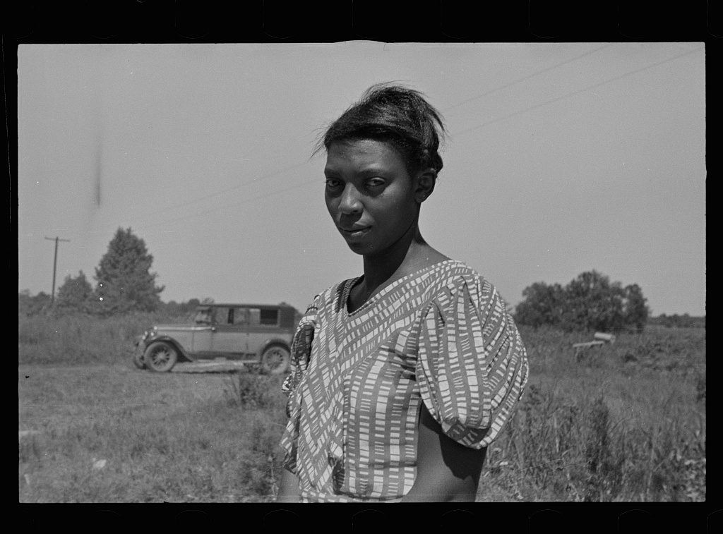
(Photo: “Wife of Negro sharecropper, Lee County, Mississippi,” August, 1935, by Arthur Rothstein)
